Remote sensing is the science of gathering data from a distance and is often for earth-observing purposes. The most common ways the data is gathered is through satellites, planes or drones.
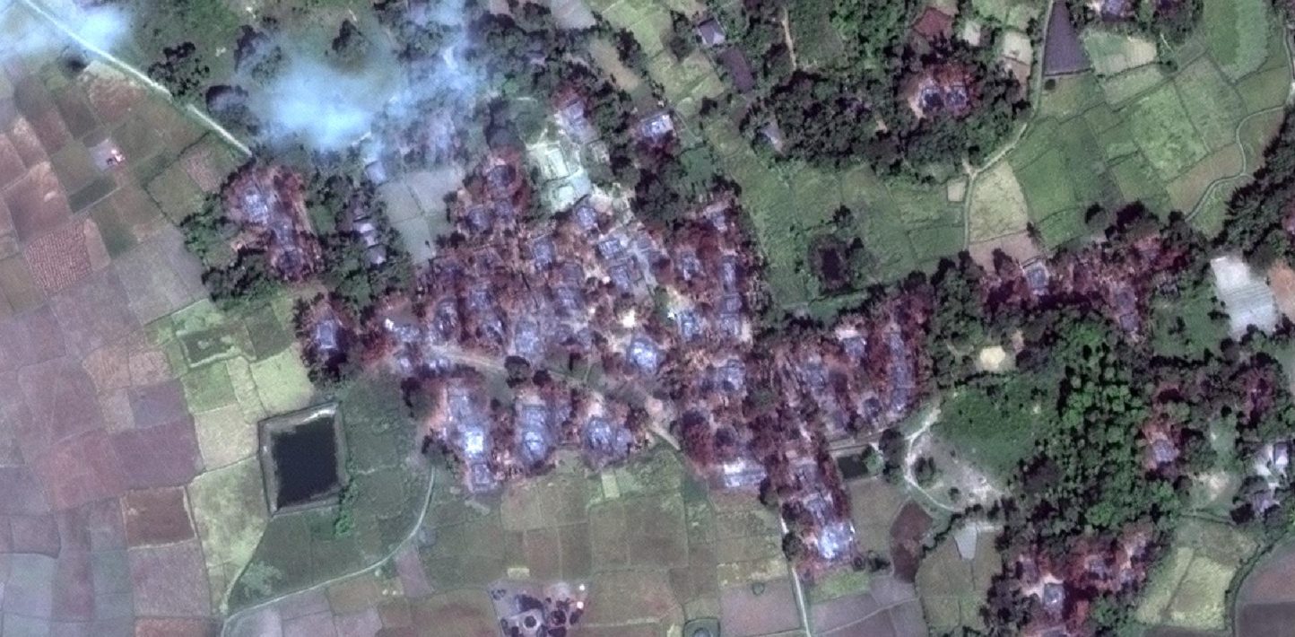
Over the last 10 years, remote sensing data and, more specifically, satellite imagery, has become more and more accessible to the general public. The level of detail visible to the eye, otherwise called spatial resolution, has gone from 60 metres in the 1980s to 31 centimetres today. Also, with more satellites in orbit, images are being taken over more areas of the earth at a faster rate, referred to as an increase in temporal resolution. These advances in resolution and accessibility have made the use of satellite imagery more commonplace and accepted as a form of evidentiary information in the research and documentation of human rights abuses.
Along with satellite imagery, other forms of remote sensing, often measured with sensors in space, have become widely available and can be used to triangulate the verification of event time and location.
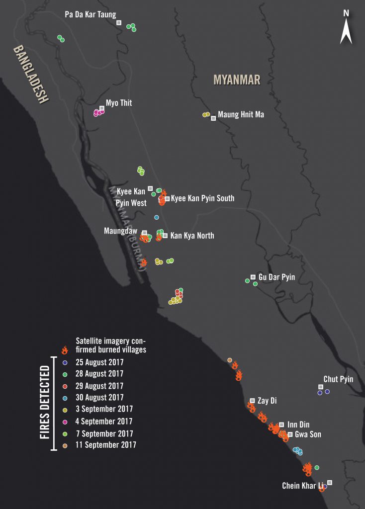
A couple of examples of other remote sensing data used are NASA’s VIIRS fire dataset and Synthetic Aperture Radar (SAR) imagery. VIIRS is an environmental monitoring instrument on NASA satellites. The instrument measures many things, but what is most often used in human rights is the derived data for fires detected. SAR imagery is data measured using radar at a different wavelength in the electromagnetic spectrum, which is not restricted by light or weather.
The massive increase in publicly available satellite imagery and other remote sensing data has created the competition needed to drive down the price of imagery. In addition, it has led to the evolution of cheaper, or even free,open-source programmes and online platforms to process and view these very large files.
Here is a list of just a few tools and platforms available that will be described in more detail in future posts on Citizen Evidence Lab:
- QGIS – Free and open source programme for working with geospatial data
- Sentinel Hub – Free/paid online platform to view Sentinel and Landsat imagery
- Landviewer – Free/paid online platform to view Sentinel and Landsat imagery
- Google Earth Pro Desktop – Free tool to view often higher resolution imagery of the world
- Remote Pixel – Free set of tools to look at earth observing data
- Image Hunter – Free tool to view satellite imagery captured over a specific area
- Terraserver – Paid service to view satellite imagery
- Google Earth Engine – Free code editor to perform geospatial and remote sensing analysis
At Amnesty International, we have been experimenting with satellite imagery since 2007 to corroborate witness testimony and document human rights abuses on the ground. Some of our first steps in this direction included collaboration with groups such as AAAS, to pair imagery and human rights experts to test the application and research value of the imagery.
In 2016, with the increase in open source information and ever growing dis-information, a Satellite Imagery Advisor for the Crisis Response Team’s Evidence Lab was brought on to assist in tracking and verifying human rights abuses. Our approach in this ever-evolving environment is to not just explore and teach new ideas, but to incorporate the ethical concerns and discuss best-practice challenges.